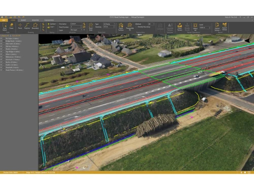
Virtual Surveyor serves as a specialized photogrammetry software combining drone processing applications with engineering design tools. Users can efficiently convert drone imagery into survey-ready terrains, which enhance the effectiveness of the surveying process. The software features the Terrain Creator app, designed to process images and create precise terrains suitable for analysis in the Virtual Surveyor workspace.
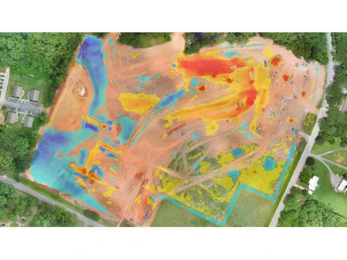
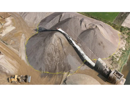
This platform is applicable across various sectors such as construction, mining, and topographic surveys, allowing users to manage earthworks with ease. It features rapid calculations for cut-and-fill tasks and offers interactive visualization for monitoring construction sites. In India, Virtual Surveyor is accessible starting at a price of $150 through techjockey.com, with pricing influenced by factors like user count and additional features. For inquiries regarding the software or its pricing structure, the product team can be contacted for further assistance.