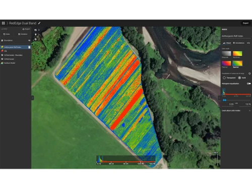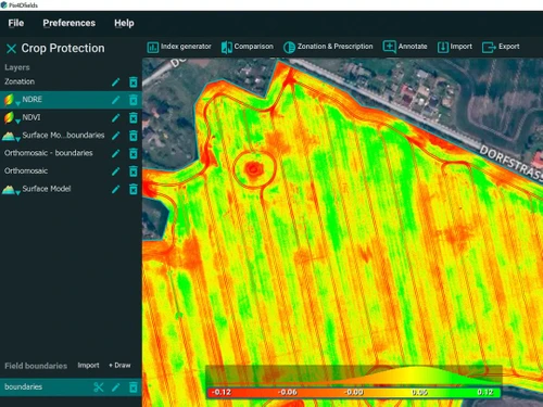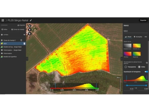
PIX4Dfields serves as a drone mapping and photogrammetry solution designed specifically for agricultural professionals. By utilizing high-resolution drone imagery, it enables farmers to gain detailed insights into their crop conditions. This software facilitates field analysis, health monitoring of crops, and the enhancement of farming practices through data-driven decisions.
Key functionalities include distance measurement, thermal mapping, and the creation of 3D visuals, along with the capability to export images. These features streamline the management of extensive agricultural landscapes, ultimately aiming to boost crop yields and operational efficiency. With an intuitive interface and strong analytical tools, PIX4Dfields is positioned as a vital asset for contemporary agricultural management. The starting price for PIX4Dfields is $74, with costs varying based on additional features, deployment options, and user quantities, providing flexibility for users in India.