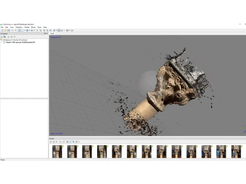
Photogrammetry software enables the processing of digital images to create 3D spatial representations, with Agisoft Metashape being a notable option in this field. This tool is suitable for various sectors such as geographic information systems, cultural heritage preservation, and the production of visual effects, accommodating both small and large-scale object measurements. The software comes in two versions: Standard and Pro, with the latter tailored for GIS content creation and widely adopted by archaeologists and UAV operators.
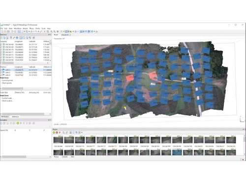
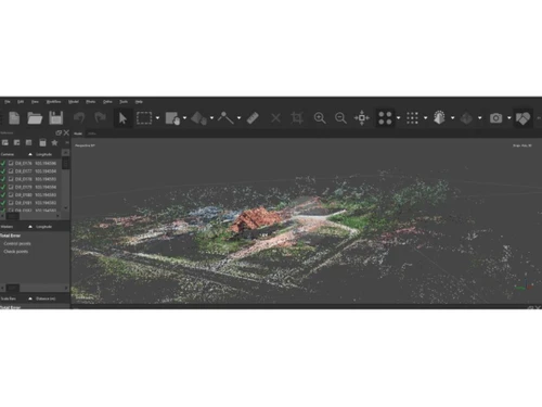
Operating on major platforms including Windows, macOS, and Linux, Agisoft Metashape offers functionalities like dense point cloud generation, automatic classification of multi-class points, and georeferencing utilizing EXIF data or flight logs. It supports diverse image types, such as aerial and satellite photos, and is applicable for building information modeling, virtual reality projects, and terrestrial laser scanning. Pricing information for Agisoft Metashape can be requested through techjockey.com, which also provides details on additional features, deployment options, and user licensing.