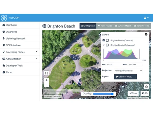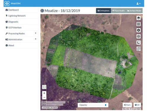
WebODM serves as an open-source solution tailored for the field of drone mapping, enabling users to transform aerial images into precise maps and 3D models. This user-friendly software employs an advanced photogrammetry engine capable of processing up to 3,000 high-resolution drone images, incorporating ground control points (GCPs) for enhanced accuracy. Additionally, the platform facilitates the creation of various outputs, including elevation models and point clouds.
The software’s cloud capabilities allow users to perform a range of tasks, such as making annotations and calculating volume measurements, while also offering options for sharing generated maps via links. Users can select from flexible payment plans, including pay-as-you-go or monthly subscriptions, tailored to different needs without long-term commitments. WebODM represents a cost-effective alternative suitable for individuals engaged in remote sensing and drone mapping projects. Pricing details can be requested through the vendor’s contact points for more specific information.