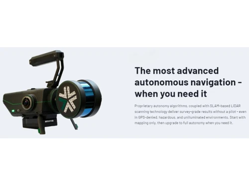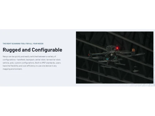
Nexys serves as an advanced solution for 3D mapping, specifically engineered for use in environments that are complex or hazardous. This software harnesses proprietary algorithms alongside SLAM-based LiDAR scanning to achieve high-precision survey results without requiring a pilot’s intervention. It supports various configurations, including handheld devices, backpacks, aerial and terrestrial robots, vehicles, and custom designs, making it adaptable to different operational needs.
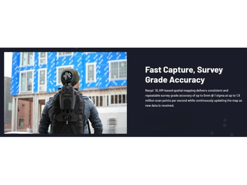
Field users benefit from real-time data visualization, allowing for immediate verification of data accuracy before site departure. Constructed to IP67 standards, Nexys is equipped to resist water and solid ingress, ensuring durability in tough conditions. The software features integrated ExynView for efficient on-site processing, resulting in clean, georeferenced point clouds. Additionally, it provides real-time 360º colorization through hemispherical cameras and includes a rugged Dell Latitude tablet for streamlined mission planning and oversight. Pricing inquiries for Nexys can be made through techjockey.com, where potential buyers can explore various pricing models based on features, deployment types, and user counts.