Nearmap offers GIS software that enables businesses to visualize any geographical area with its high-resolution aerial imagery, updated regularly. Designed for professionals who require a clear understanding of physical sites without the need for on-site visits, the cloud-based service provides access to both current and historical images, replacing outdated maps and costly surveys with an accurate visual archive that aids in planning and strategic decision-making.
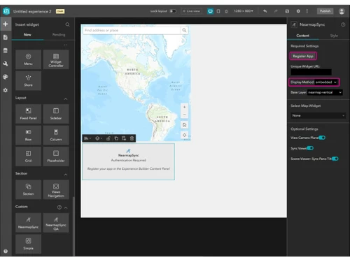
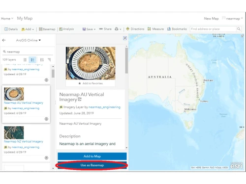
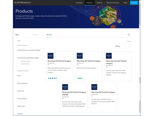
In addition to standard imagery, Nearmap features advanced 3D modeling and measurement tools, making it particularly valuable for engineers, urban planners, and construction managers. Its compatibility with widely-used design and mapping applications such as AutoCAD and ArcGIS enhances its functionality in engineering design. Pricing details can be obtained by reaching out to Techjockey.com, with options based on various factors, including deployment methods and additional features.