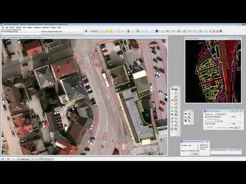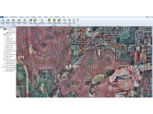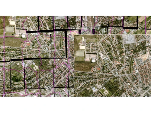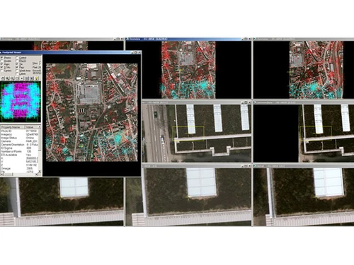
ImageStation is a specialized software tool that enables the generation of accurate 3D models and comprehensive maps from aerial and satellite images. This photogrammetry solution is particularly beneficial for sectors such as surveying, construction, urban development, and environmental assessment, all of which demand precise spatial data. The software’s capabilities include transforming raw imagery into detailed outputs, allowing users to measure distances accurately and employ stereoplotters for enhanced 3D visualization.
With its user-friendly interface, ImageStation caters to a broad audience, accommodating both novices and seasoned professionals. The software facilitates seamless map sharing among team members and stakeholders, ensuring collaborative efforts are productive. For those interested in ImageStation’s pricing, details are available upon request, as costs can vary based on features, deployment types, and user counts.