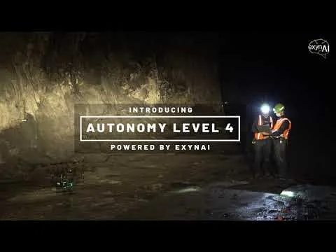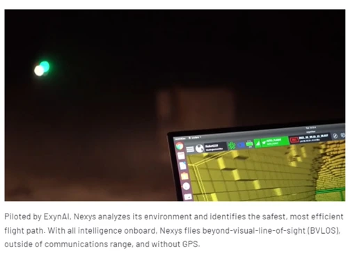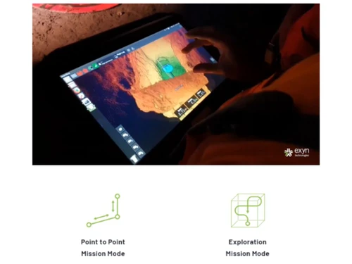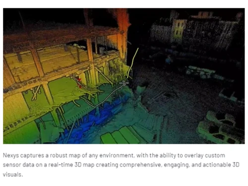
ExynAero DJ34 serves as sophisticated drone mapping software tailored for various industrial sectors, including construction, mining, and military surveillance. It operates independently, eliminating the necessity for prior mapping, GPS, or established infrastructure, allowing it to navigate and gather precise 3D data in complex environments. Equipped with state-of-the-art artificial intelligence and machine learning, this drone ensures secure and efficient data acquisition even in challenging terrains.
The device boasts impressive 270-degree visibility, high-intensity illumination, and LIDAR technology, enabling it to generate detailed visuals in full HD color. Its agile flight system enhances stability and performance in confined areas, making data transfer to analysis teams seamless and straightforward. Pricing information for the ExynAero DJ34 can be obtained upon request, and it varies based on features, deployment methods, and user count.