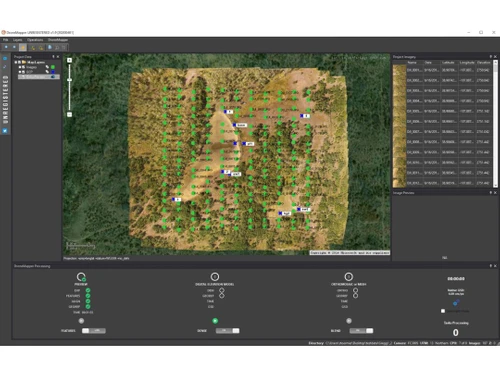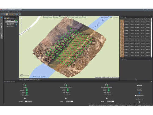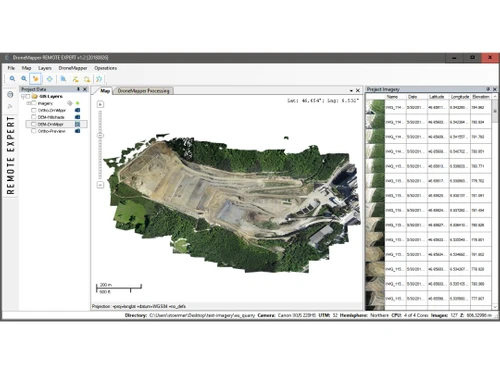
Drone mapping software serves a critical role in various sectors, and DroneMapper offers two distinct licenses: REMOTE EXPERT and RAPID. REMOTE EXPERT can process up to 10,000 aerial images per project, yielding orthomosaics and digital elevation models at customizable resolutions. In contrast, the RAPID version is tailored for smaller projects, accommodating 250 images while providing similar processing capabilities. Both applications function on Windows and are designed to deliver precise georeferenced outputs, including contours, planimetrics, and volumetric calculations beneficial for stockpiles and reservoir assessments.
In addition to its core functionalities, DroneMapper offers cloud processing and enterprise solutions designed to manage larger areas effectively. This capability addresses big data challenges and incorporates automated analytics for streamlined operations. The software is applicable in fields such as precision agriculture, land surveying, and geographic information systems. For pricing information, interested parties can reach out through techjockey.com to understand the costs associated with various features and user configurations.