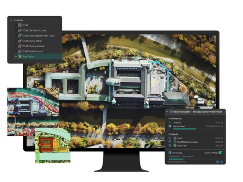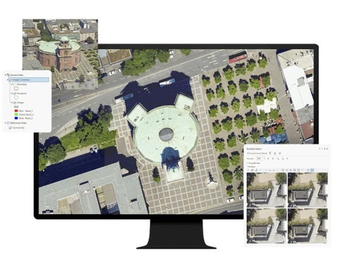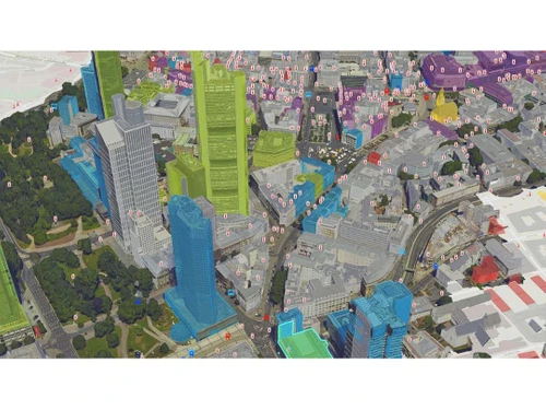
ArcGIS Reality encompasses a comprehensive suite of software dedicated to photogrammetry, facilitating effective reality capture for diverse environments such as urban centers and expansive regions. This toolset is adept at generating precise digital models that reflect real-world conditions across various scales.
The software harnesses detailed imagery to derive insights from every pixel, enabling the creation of engaging and dynamic visualizations. Key offerings include ArcGIS Reality Studio, ArcGIS Reality for ArcGIS Pro, Site Scan for ArcGIS, and ArcGIS Drone2Map, all aimed at enhancing efficiency and collaboration within the Architecture, Engineering, and Construction (AEC) sectors. Pricing details are available upon request, and the cost structure varies based on factors such as additional features, deployment options, and user counts.